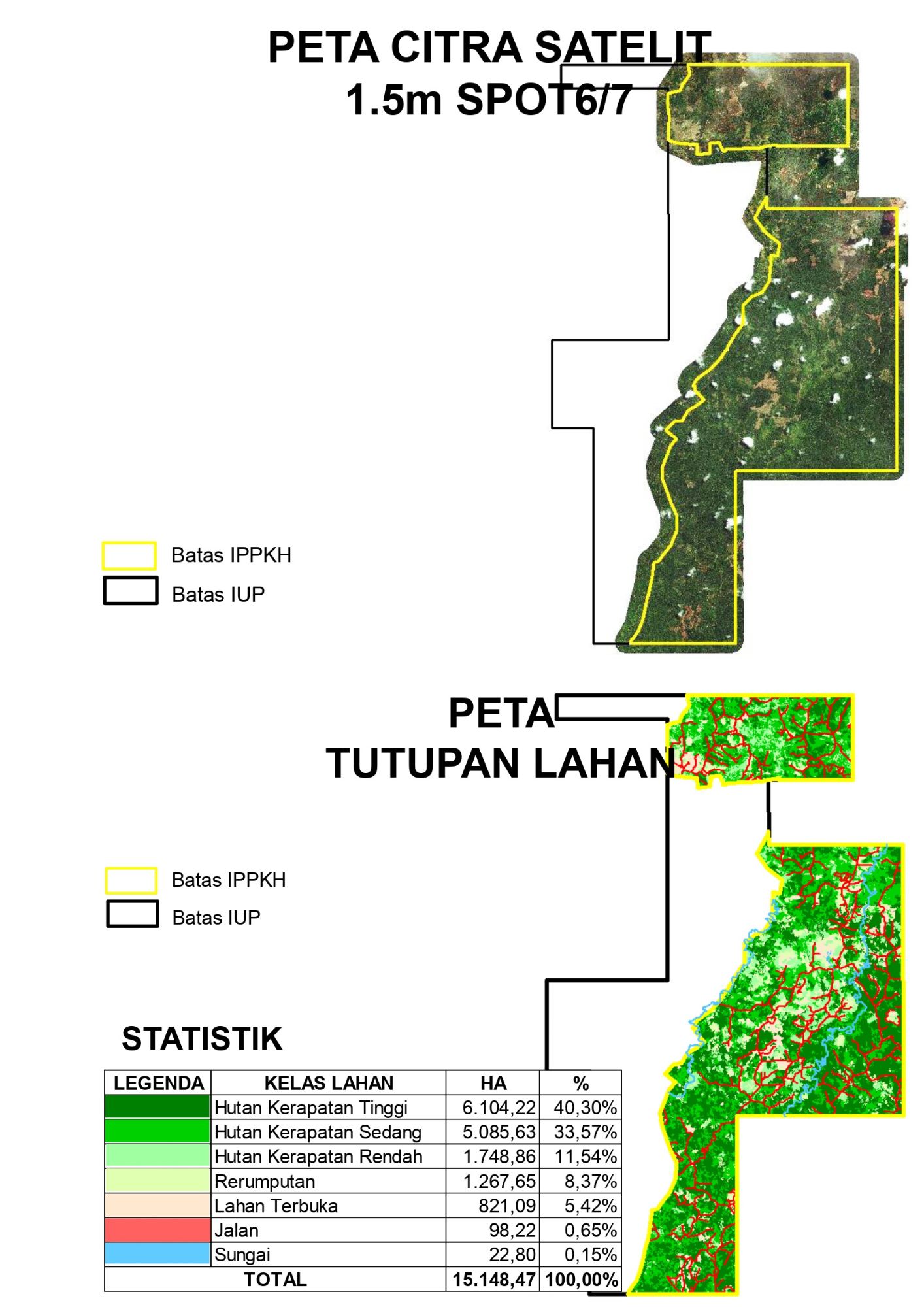
We can provide full support for your satellite imagery inquiry including:
1. Reporting to government for propose a new and extension of an IPPKH / IUP permit.
2. Help you to determine your prospect areas.
3. Monitoring progress of rehabilitation / reclamation.
4. Monitoring mining progress.
5. Data support for land management including monitoring of mining/logging/plantation activities by other companies around the IUP boundary.
6. Data support for civil planning such as creating ponds for water management, etc.


